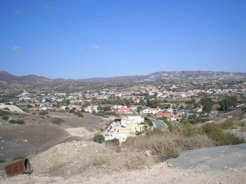
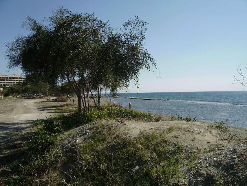
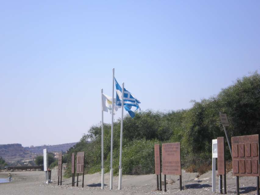
The village of Pyrgos is in the Limassol district, about 13 kilometres east of the city of Limassol. Its administrative boundaries reach up to the sea.
The village is built at an average altitude of 85 meters. The altitude presents a noticeable increase from the settlement to the north and near its north administrative boundaries it reaches 488 meters. In the south of the settlement the altitude steadily decreases and comes down to about 50 meters. Further south the altitude decreases steadily up to the sea.
Pyrgos receives an annual rainfall of about 430 millimetres; citrus, olive and locust trees, cereals, forage plants, various fruit trees, a few grapevines and very few legumes are cultivated in the area. Various types of vegetables and especially tomatoes are also cultivated. Pyrgos is famous for the quality of its tomatoes.
Stockbreeding in the village is limited.
The village is included in the large irrigation project of the South Duct and has benefited in the context of the second phase with the irrigation of about 100 hectares.
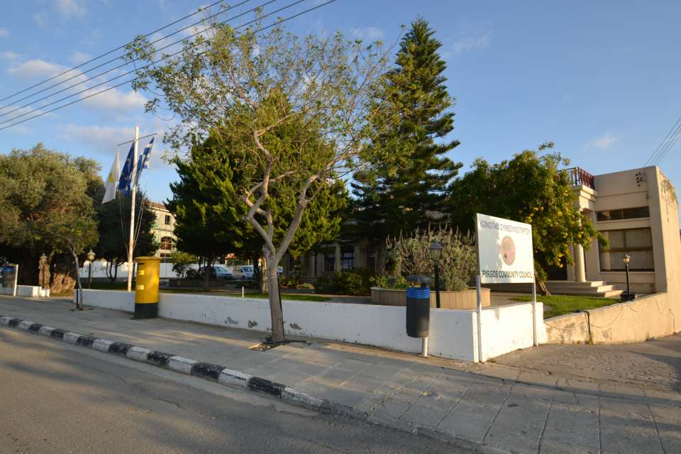
As far as transportation is concerned, Pyrgos is connected in the south to the Limassol - Nicosia highway and in the south-east with the village of Moni as well as with the village Parekklisia in the west.
The village, mainly because of the relevantly small distance from the city of Limassol, has undergone several increases of its population. In 1881 the inhabitants of Pyrgos were 187, which increased to 326 in 1891, to 345 in 1901, to 308 in 1911, to 412 in 1921, and to 478 in 1931. The inhabitants increased to 570 in 1946, to 702 in 1960, to 712 in 1973, and to 803 in 1982. In the last population census of 2001 the inhabitants were 2120.
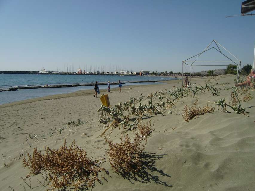
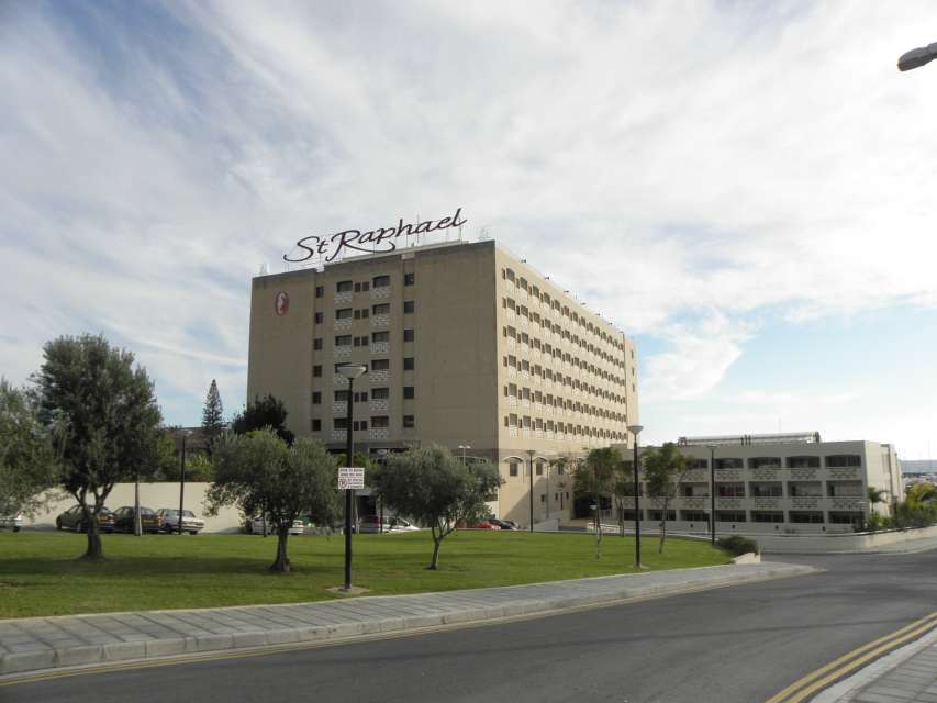
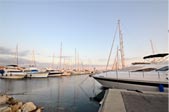
The Power Station and the Cement Industry of Moni are in the south of the village -close to the sea -and are included in its administrative boundaries. Also within its administrative boundaries is the marina of Agios Raphael, which is considered one of the most fully organised marinas.
The village existed during the Medieval times under the exact same name. In old maps it is marked under the name Pirgo and Birgo.
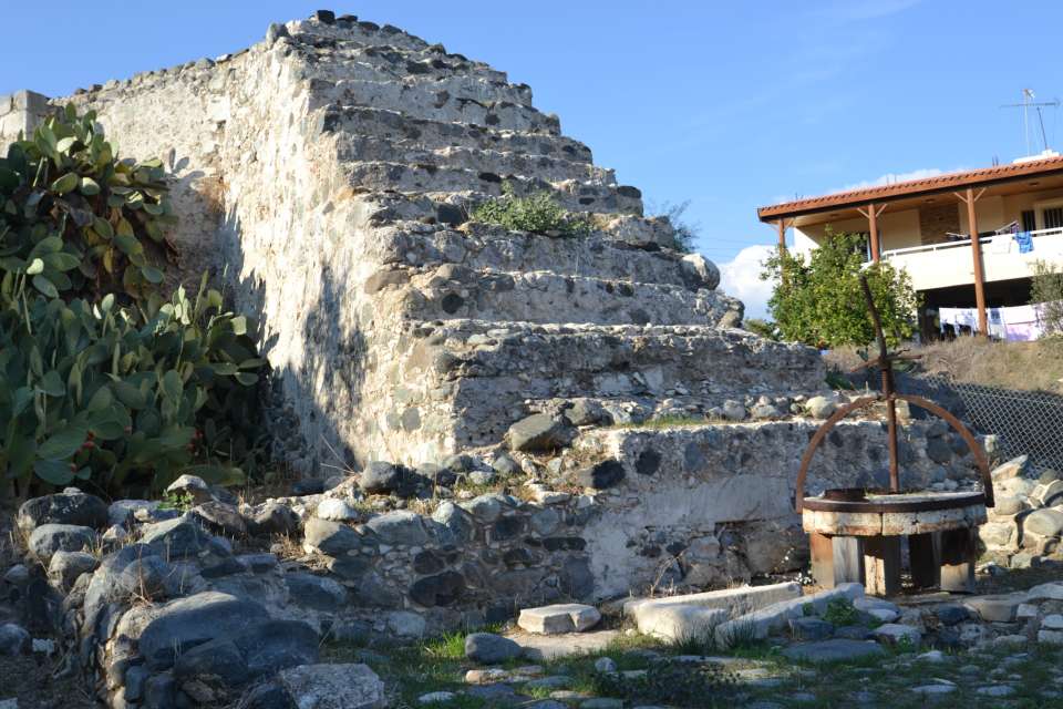
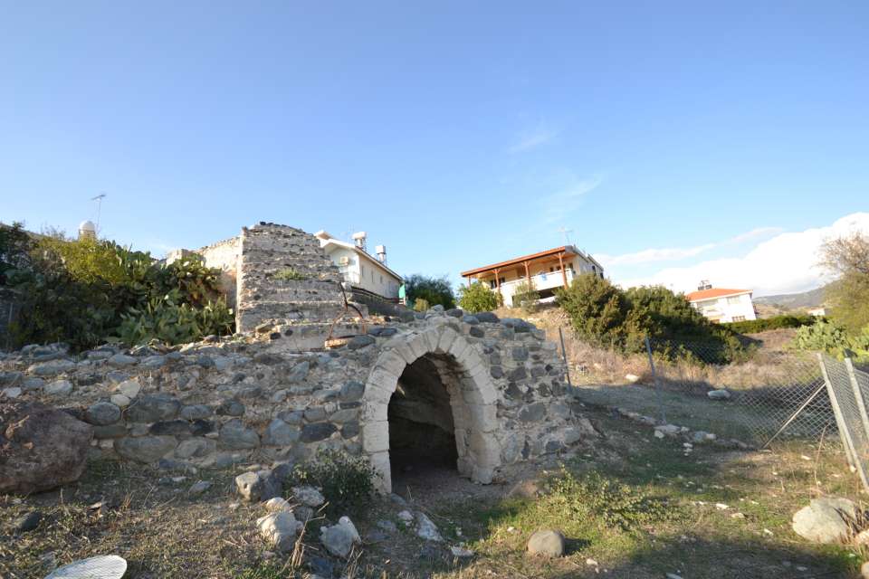
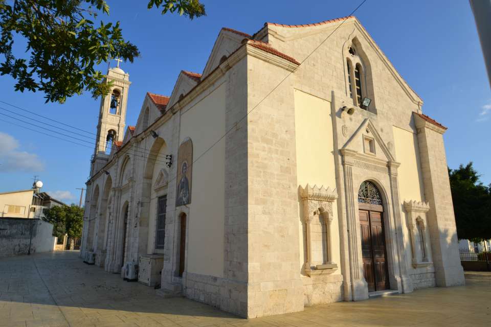
The name of the village originated from the fact that there was a tower in the region, apparently one of the Byzantine years. A tower must have existed also during the Frank domination era, in the sense of a central building of a family of nobles, to which the village -as a feud -belonged to. We have no records on which family of nobles it belonged to.
In any case the tower that existed in the village was a common Medieval one. Nearchos Clerides reports a local tradition according to which a "Pyrgos tis Rigainas" (Tower of the Queen), from the floor of which began a tunnel that extended to Amathoùs. As it often occurs with such traditions that are related to medieval or more ancient structures, the legendary existence of some great treasure is necessary. In the case of Pyrgos, the legendary treasure is a solid gold carriage with which the notorious Rigaina moved around. An old building in the village is known as "rigoudin" and it is believed that its floor is that of the original tower from where the tunnel begun.
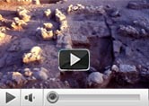
In the region of the village there are at least two archaeological sites from Prehistoric times that prove an older inhabitation of the area. No proper archaeological excavations have been conducted yet. Besides, the village is too close to the ancient city of Amathoùs, to which its area was included in its administrative range.
|